
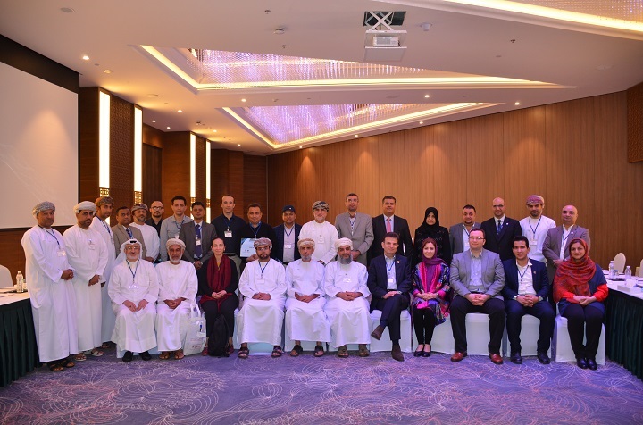
Participating Countries /Organizations:60 experts from 13 countries
Number of Participants: 60
Number of Female Participants: 22
Main Objectives
The main objectives of this regional training workshop have been to:
• introduce recent developments in remote sensing information and satellite-based products (e.g. precipitation and soil moisture) as well as their applications,
• promote the exchange of experience and knowledge among participants and,
• discuss development and application of Decision Support System (DSS) using remote sensing information.
")
")
")
")
")
")
")
")
")
Downloads
Presentations
E-Learning Videos
E-Learning Videos: Catchment Delineation in QGIS_Part 1
E-Learning Videos: Catchment Delineation in QGIS_Part 2
E-Learning Videos: Catchment Delineation in QGIS_Part 3
E-Learning Videos: Catchment Delineation in QGIS_Part 4

